After the customary "start of tour" posed photos overlooking Lake Geneva we started our various GPS devices at just after 9.30 am and battled with Thonon's one way system as we searched for the right road out of the town.
 |
| Posed start of Tour Photo in Thonon -Les -Bains overlooking Lake Geneva |
The area of flat hinterland around Lake Geneva is small and it wasn't long before we were sweating up though woodland to climb our first col, the Col de Moises (1121 metres) which with an average ascent of 6.6% and the steepest part at 8% just below the summit required plenty of work to start the tour. The descent down to the village of Harbere-Roche provided a welcome stop for a coffee and to refill our water bottles as this was the first checkpoint of the Raid at the local boulangerie.
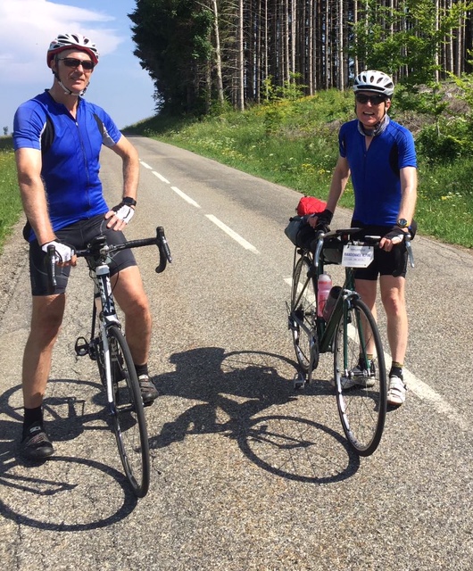 |
| Col de Moises |
The first few kilometres of the Col de la Ramaz (1608 metres) through the chalets and farms are at 8%, then the road eases of to 2% for over a km. After a further 3km of switchbacks through the forest, the serious stuff begins. The road is now cut into the plunging hill side above the Gorges du Foron, and the gradient alternates 9%, 7%, 9% and finally 10% at the steepest section through a tunnel. The ever-changing gradient means it is hard to settle into a rhythm.I was glad of the shade under the avalanche shelters and in the tunnel: the mountainside here is south-facing and we were in the full blast of the sun. The road finally levels out to a more reasonable 5% as it reaches and curves around the col de la Ramaz and the Sommand plateau for another 3 km.
 |
| Lunch stop near the top of the Col de la Ramaz |
 |
| The Col de la Ramaz summit |
By the time we reached the summit at 13.40 we were gasping for liquid and food. A superb spaghetti- bolognese hit the spot and despite some cramping I felt energised to continue. At the ski station of Praz-de-Lyz there was only one shop open for our precious Alpine Raid stamp but the owner gave us each a free gift of a head scarf which was to prove invaluable as the week wore on.
 |
| Views across to Mont Blanc (now shrouded in cloud) |
We should have stopped at Sallanches before the final ascent to Megeve but for some reason Chris kept going and I failed to reign him in (he is so strong). Shortly afterwards Phil texted us clearly somewhat exasperated to find that we hadn't stopped.
The final slog up to Megeve was very hard work in the evening heat and I had to stop a couple of times to draw breath and drink the tepid fluid from my water bottle. I eventually arrived at Chalet d'Antoine in Megeve at 18.45 some 15 minutes behind Chris and 20 minutes ahead of Phil who had sensibly stopped at Sallanches for a cafe stop. The hotel seemed barely open, they weren't serving dinner and had no beer on tap but at least they were happy to wash out our sweaty kit for 7 euros.
Megeve is a posh ski resort at one time favoured by the French aristocracy and nowadays it is still visited by affluent people as evidenced by the prices of apartments in the estate agents windows. We enjoyed an excellent meal at a local restaurant in the town centre and like most evenings to follow retired to bed early.
 |
| Day 1 Route |
No comments:
Post a Comment